Deep Creek
Trails
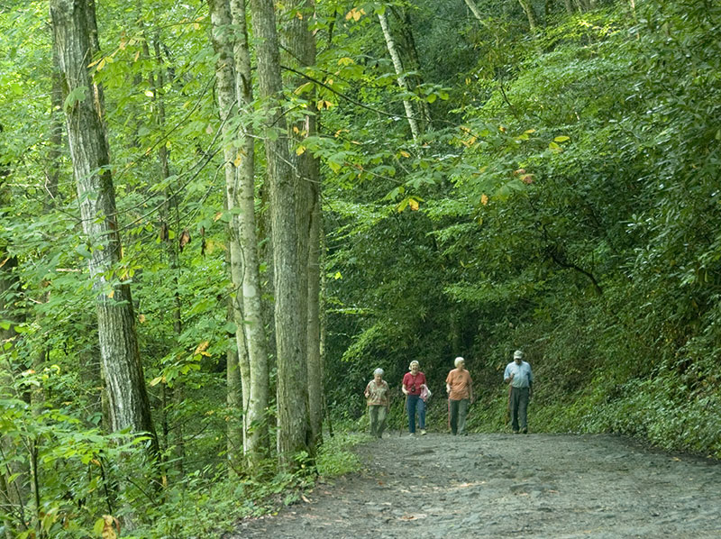
Deep Creek Hiking Trails
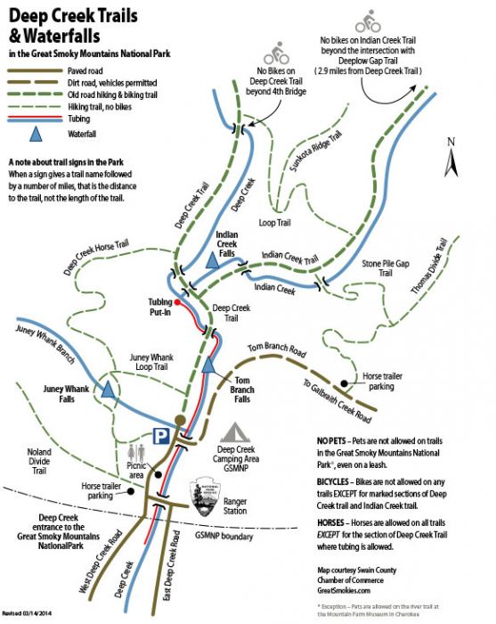
Download a printable PDF map of Deep Creek’s trails and waterfalls.
Whether you hit the trails on two or four feet, or on two wheels, you’ll find trail experiences ranging from easy to strenuous in the Deep Creek area. This National Park entrance is at the uppermost end of Deep Creek Valley where the trails begin to climb up to the summits of the Smokies. Trails meander alongside Deep Creek and Indian Creek, across small bridges and through large stands of rhododendron and mountain laurel. There are several loop trails and three scenic waterfalls. No pets allowed on these trails (even on a leash). but there are several pet-friendly hiking trails in the Bryson City area, including Island Park in downtown Bryson City.
Parking Fees
Parking tags are required in the Great Smoky Mountains National Park. Three tag durations will be available for purchase for all vehicle sizes and types: Daily, $5; Weekly, $15; or Annual, $40. Tags may be purchased online, or on-site. Parking tags will NOT be required for motorists who pass through the area or who park for less than 15 minutes, or while parked at their designated campsite. Parking Program Info
IN OUR BLOG…
A Guide to Social Distancing on the Smokies’ Trails and Waters
With our “new normal,” how do we stay six feet apart from others on trails and while pursuing our favorite sports?
Hiking
In addition to the waterfall trails, explore the Deep Creek-to-Indian Creek Loop (4.4 miles), and the Sunkota Ridge Trail Loop.
Martin’s Gap Loop (Trails: Deep Creek to Martin’s Gap to Sunkota Ridge to Loop Trail to Indian Creek and back to Deep Creek) — Approximately 12 miles, easy to moderate. You may also take the Martin’s Gap Trail over to the Deep Creek Trail and back as an approximate 13 mile hike.
Deep Creek Trail to Newfound Gap Road — 14.3 miles, easy to strenuous. For most this is a one-way hike, requiring a second vehicle at the end of the trail. Many choose to walk this trail “down” from Newfound Gap Road to the Deep Creek parking area.
Noland Divide Trail to Lonesome Pine Overlook — The 6.7 mile hike (in and out) is strenuous but the views are spectacular. The trailhead is just inside the Deep Creek park entrance, in the horse trailer parking area across from the Deep Creek campground. For the first three miles there’s an elevation gain of 2300 feet. At the crest of Beauregard Ridge the trail then narrows to a razorback with views of Bryson City, the Tuckasegee Valley and the Nantahala Mountains beyond.
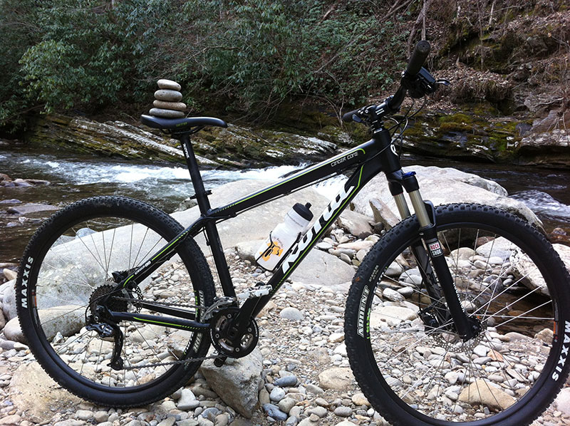
Biking
Bicycles are allowed on Deep Creek and Indian Creek trails only. Please note: there are NO loops to ride; these trails are out and back only.
Deep Creek Trail may be ridden from the parking lot to the fourth bridge (at the Loop Trail); this is about 1.7 miles each way (1 mile beyond the junction with Indian Creek Trail).
Indian Creek Trail may be ridden from Deep Creek Trail to the intersection with the Deeplow Gap Trail; this is about 2.9 miles each way.
We have several bike rental companies in Swain County that have just what you need for cycling and off-road mountain biking.
Watch the Video – Ride The Trails
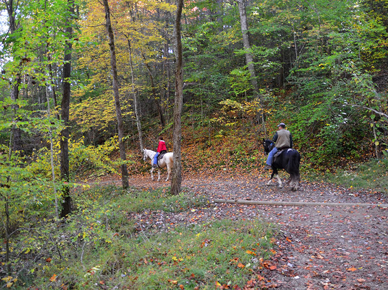
Horseback Riding
On your left as you enter the Park you will find the horse trailer parking lot and access to the horse trails. No horses are allowed on the Deep Creek Trail below the tubing put-in bridge.
There is another trailer parking area off Galbraith Creek Road. Here you can access the Thomas Divide Trail. DO NOT try to access this trail with your trailer from the Deep Creek entrance; this is a one-lane dirt road. Access this trail from the other end of Galbraith Creek Road, off US Hwy 19 about 1.5 miles outside Bryson City toward Cherokee.
Please note there are no commercial horseback facilities in Deep Creek; and commercial horseback rides are not allowed.
Download the official trail map for the entire National Park.

