Great Smoky Mountains National Park
Kuwohi
Views From the Top of Old Smoky
A visit to the Great Smoky Mountains National Park is not complete without a drive to the park’s highest elevations, at Newfound Gap and Kuwohi (formerly Clingmans Dome).
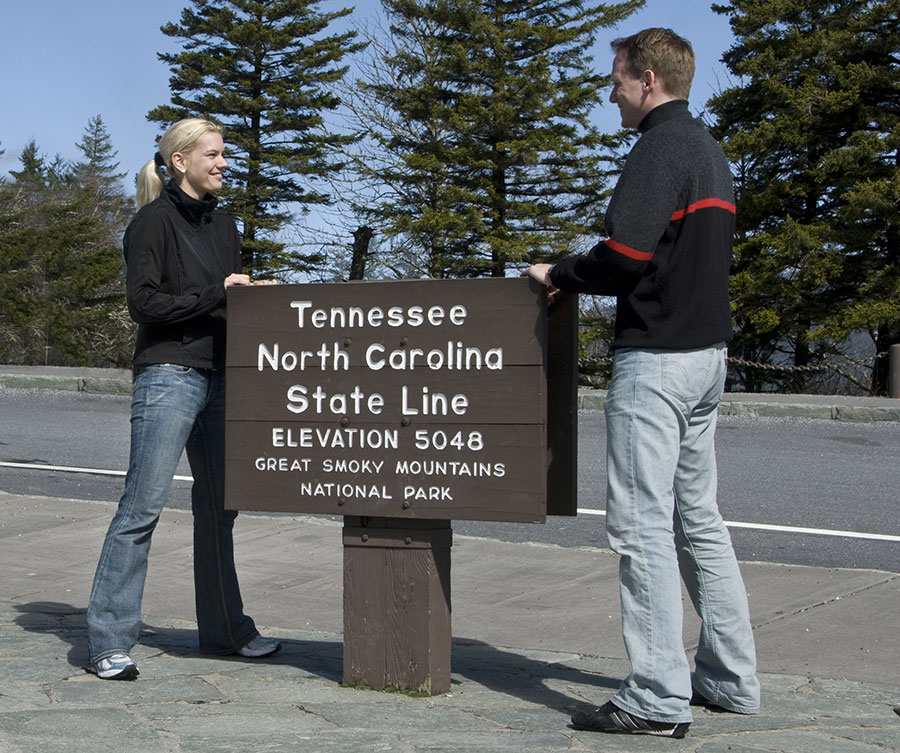
The Newfound Gap overlook is on US 441 at the North Carolina – Tennessee state line. At 5,046 feet, the gap is the lowest driveable pass across the mountains – 3,000 above Bryson City and Cherokee. The drive from Cherokee is roughly 18 miles.
The centerpiece of the overlook is the Rockefeller Memorial, honoring a $5 million donation from the Rockefeller Foundation – funding which helped bring about the creation of the Great Smoky Mountains National Park in the ’30s. Speaking from the monument, President Franklin Delano Roosevelt officially dedicated the park in 1940.
The Smokies’ Highest Peak – Kuwohi
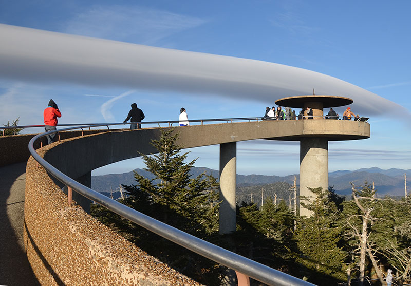
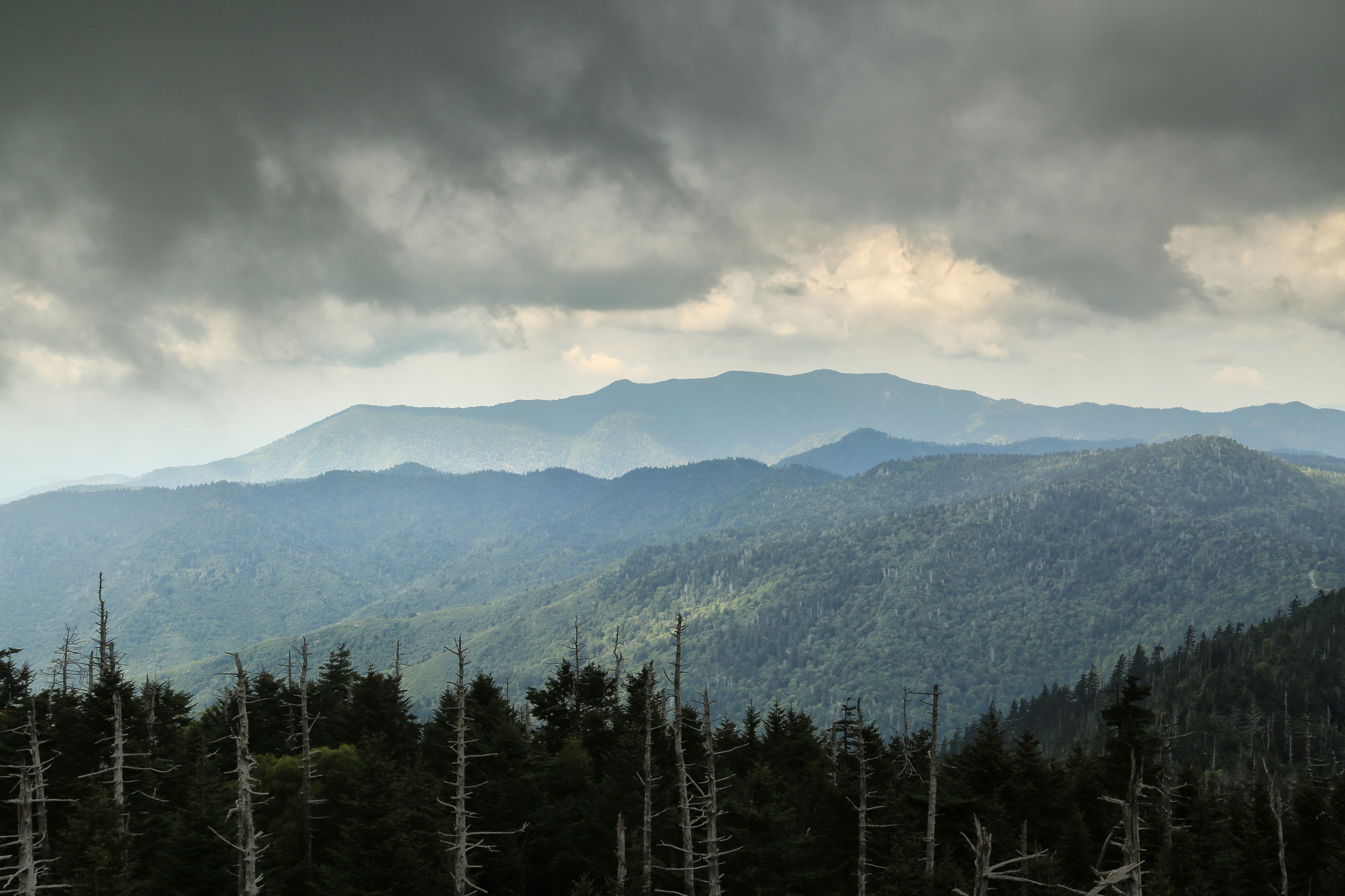
At 6,643 feet, Kuwohi (formerly Clingmans Dome) is the highest peak in the Smokies and the third highest east of the Mississippi. From the parking lot, seven miles west of Newfound Gap, walk the steep half-mile path to the 54-foot observation tower for a 360-degree view of the Park. Sunrises and sunsets are spectacular. The Appalachian Trail crosses Kuwohi, marking the highest point along its 2,144-mile journey. The road to Kuwohi is normally closed from December 1 until April 1. Video
There is a Park Visitor Center and restrooms at the parking area. The trail to the observation tower is too steep to be wheelchair accessible. Pets and bicycles are not permitted on this or any other trails in the area.
Besides the trail to the summit, there are several trails that start on Kuwohi Road in the parking area. The Appalachian Trail (AT) crosses Kuwohi, marking the highest point along its journey from Georgia to Maine. The Forney Ridge Trail leads to Andrews Bald, a high-elevation grassy bald.
Directions: Turn off Newfound Gap Road 0.1 mile south of Newfound Gap and follow the 7-mile-long Clingmans Dome Road to the large parking area at the end.
History: Kuwohi (formerly Clingmans Dome) is a sacred place for the Cherokee people and is the highest point within the traditional Qualla Boundary, home of the Eastern Band of Cherokee Indians. Kuwohi translates in English to ‘mulberry place”. It is significant to the Cherokee as it was visited by medicine people who prayed and sought guidance from the Creator regarding important matters facing their people and gave guidance and advice.
In 1859, the peak was named Clingmans Dome by Arnold Guyot, a geographer surveying the area. He named the peak Thomas Clingman, a Congressman and Senator from North Carolina. The restoration of the original Cherokee name of the mountain occurred in 2024 after the Eastern Band of Cherokee Indians officially requested the U.S. Board of Geographic Names change it back to its original name.
Parking Fees
Parking tags are required in the Great Smoky Mountains National Park. Three tag durations will be available for purchase for all vehicle sizes and types: Daily, $5; Weekly, $15; or Annual, $40. Tags may be purchased online, or on-site. Parking tags will NOT be required for motorists who pass through the area or who park for less than 15 minutes, or while parked at their designated campsite. Parking Program Info
Bring a Jacket
Clouds, precipitation, and cold temperatures are common at the highest elevations of the Smokies. Temperatures at Kuwohi can be 10–20 degrees Fahrenheit cooler than in the surrounding lowlands. In fact, the cool, wet conditions on the peak’s summit make the spruce-fir forest that grows there a coniferous rainforest. Dress in layers and be sure to bring a jacket, even in summer.


