Most of the time, Fontana Dam just quietly goes about its job of generating hydroelectricity for the Tennessee Valley Authority. Built in the 1940s, the 480 foot concrete structure is the tallest dam in the eastern United States, empounding the 10,230-acre Fontana Lake in western Swain County.
Occasionally, TVA has to release large volumes of water in a controlled fashion, either to create flood storage capacity on Fontana Lake or to release excessive water following heavy summer rains.
Fontana’s spillway is regulated by three massive flood gates along the top of the dam. Excess water spills over the top of the dam into massive 34′-diameter pipes to be released below the dam.
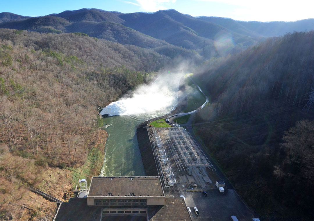
The over flow enters a tunnel, or ‘sluice tube’, equipped with a deflection system designed to keep the force of the water from scouring out the river bed.
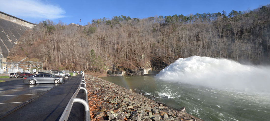
Normally, the overflow is small and hardly noticed. But on rare occasions, when massive volumes of water pass through the sluice tube, the flow is diverted vertically creating a very impressive ‘rooster tail’.
Sluicing is needed rarely. The results of sluicing are spectacular and can be enjoyed without worry. The river will stay within its banks. Controlled flow eliminates the worry about damage to property or life. The water then moves through the river system past Knoxville, Chattanooga and up into the Ohio River.
To learn more about sluicing timelines, visit www.tva.gov/Environment/Lake-Levels/Fontana
You can view the sluicing at either the Fontana Dam Basin (base) or from the top of Fontana Dam.
Directions to Fontana Dam:
• From downtown Bryson City, merge onto US-74 W
• In 8.3 miles, turn right onto NC-28 N
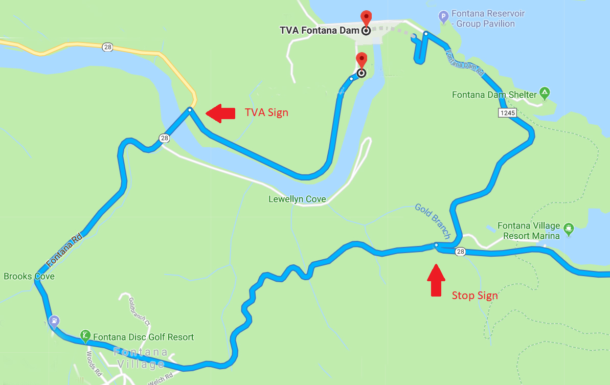
• In 21.3 miles, you will come to a stop sign.
Directions to the top of TVA Fontana Dam:
• Turn right at the stop sign onto Fontana Dam Road
• Go 1.2 miles to the parking area and visitor center
Directions to Fontana Dam Basin:
• Turn left at the stop sign to stay on NC-28 N
• Go 3 miles, and turn right at the TVA sign (right after going over the river)


